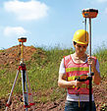

CENTER FOR GEOSPATIAL TECHNOLOGIES
GAL is an interdisciplinary center and a component of the University of Zadar, established by the Senate. Its main objective is to conduct scientific research, educate young scientists, and apply new, contemporary knowledge and technologies in the development of new research methods. The implementation and improvement of scientific research within GAL are based on the application of geospatial analysis from the GIS and RS domains.
The Center for Geospatial Technologies serves as support to all components of the University of Zadar that apply some form of geospatial technologies and methods in their scientific and professional research and projects.
The main tasks of the Center for Geospatial Technologies (GAL) include:
- a) Providing a common platform for integrating spatial data collected from different sources within various scientific disciplines;
- b) Enabling scientific research aimed at improving existing methodological research frameworks in defined areas;
- c) Enhancing the teaching capabilities of GIS at all levels of the University;
- d) Ensuring the availability of geospatial technologies and providing support in research project applications to all components of the University;
- e) Training students to use specialized equipment, developing their digital competence, and making them more market competitive;
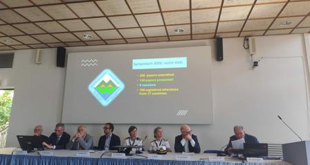
- f) Organizing scientific and professional conferences, presentations, and other activities related to applied research conducted;
- g) Strengthening the position of geography in the science of the Republic of Croatia and the STEM field;
- h) Enhancing the University's infrastructure with new geospatial and information and communication technologies.
By combining consulting services, technical training for staff and students, and developing a research platform, the Center will enable all interested members to participate in a diverse range of research projects.
Any individual or legal entity with at least a bachelor's degree who accepts the Statute and its provisions can become a member of the Center.
By joining the Center, you accept the Center's Statute, as well as the rights and obligations of its members.
You can become a member by completing a short application form at the following link: GAL- Google Forms (ENG)